The story of the ride
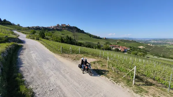
A multi-day motorcycle journey through Provence and along the Route des Grandes Alpes: from Susa over the Mont Cenis, across legendary cols such as the Galibier, Bonette and Izoard, through the lavender fields of Valensole and Sénanque Abbey, into the Verdon Gorge and the red gorges of Daluis and Cians, on to Briançon and back into Italy over the Montgenèvre. Roads full of bends and views that deserve at least a week.
Day 1 – Susa to Die: Mont Cenis, Galibier and Combe Laval
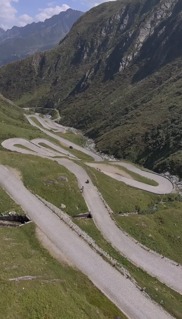
The journey starts in Susa and crosses the Mont Cenis pass, between the Ambin massif and the Cottian Alps, with a splendid view of its large reservoir. Used since Roman times to link northern Italy with Gaul, the pass was made fit for carriages by Napoleon.
After the Col du Télégraphe you reach the Col du Galibier, one of the most spectacular passes on the Route des Grandes Alpes: at 2,642 metres it is among the highest in Europe. On the way down you pass La Grave, a picturesque village beneath an imposing glacier.
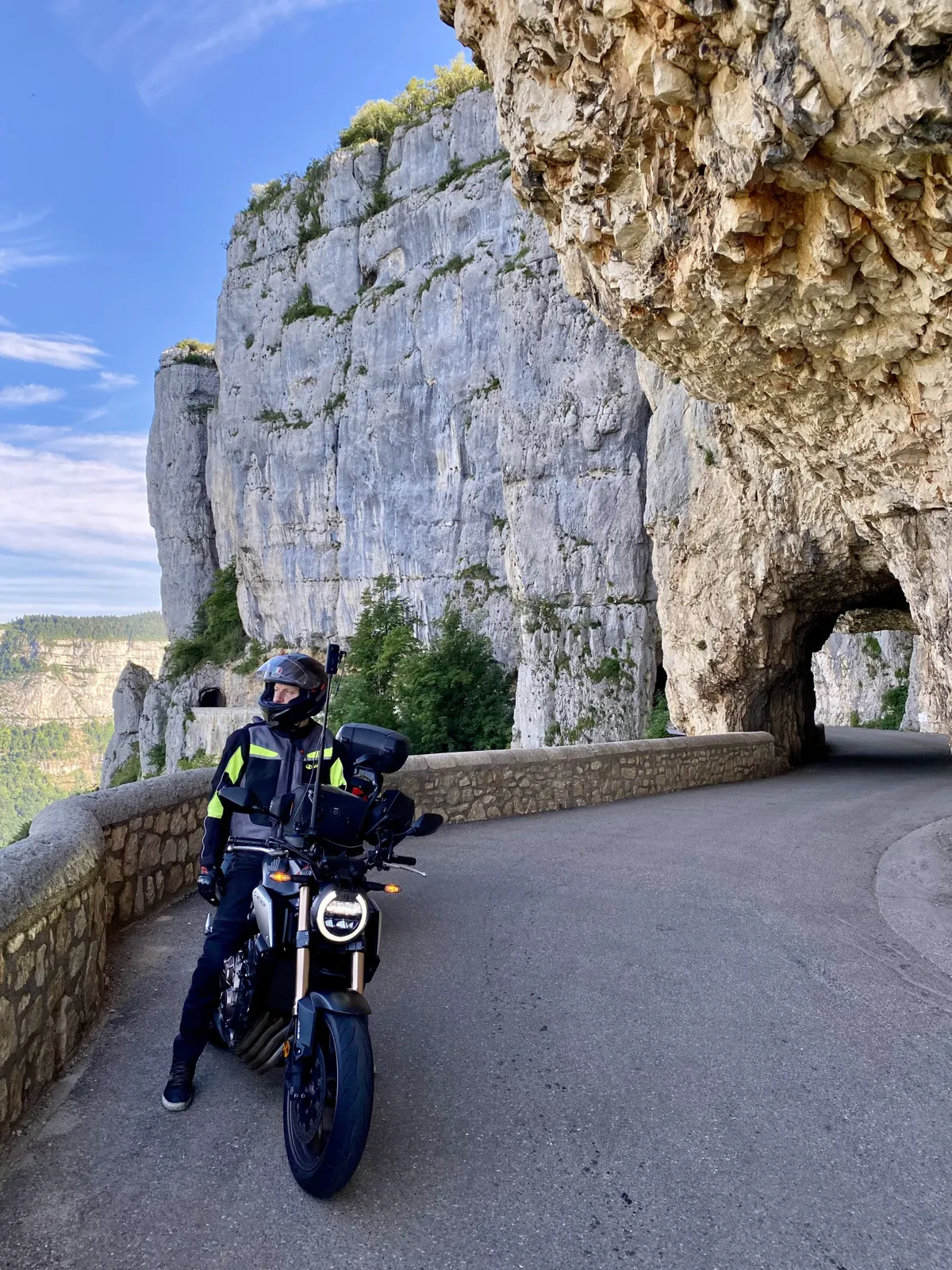
The second-to-last stop is Pont-en-Royans, with its medieval houses hanging over the river Bourne; then the spectacular Combe Laval road, suspended above the valley. I rode it in one day, but splitting it over two lets you enjoy every stop at a calmer pace.
Days 2–3 – Die to the Cians Gorges: lavender and the Verdon
From Die you continue to the Château d’Aulan, a hilltop castle that is still lived in, and through the Gorges d’Aulan to Montbrun-les-Bains, a medieval village famous for its spa. The road climbs to the Belvédère Le Castelleras, overlooking the Gorges de la Nesque, then drops to Sénanque Abbey, surrounded by lavender fields.
You pass Valensole, famous for its lavender, and Moustiers-Sainte-Marie, set between cliffs and known for its ceramics and the golden star hanging above it. Then comes the Verdon Gorge, one of the deepest canyons in Europe, with 700-metre walls and turquoise water: the Route des Crêtes offers incredible views and the D952 runs along the gorge with spectacular scenery.
After the Pont de l’Artuby you take the D71, carved into the rock, to the Gorges Notre-Dame de la Clue. You descend to the Citadelle d’Entrevaux, a fortress above the medieval village, cross the red-rock Gorges de Daluis and finish by climbing the Col de Valberg and descending into the Gorges du Cians.
Day 4 – Bonette, Vars, Izoard and back via the Montgenèvre
From the Gorges du Cians you climb to Ilonse, a village perched at 1,200 metres above the Tinée valley, and rejoin the Route des Grandes Alpes up to the legendary Col de la Bonette (2,802 m) in the Mercantour National Park, with a 360° view of the Alps.
On the way down you cross the Col de Vars (2,108 m), among woods and pastures, and the Col d’Izoard (2,360 m), famous for the Casse Déserte, a unique lunar landscape. Then you reach Briançon, the highest fortified town in Europe and a UNESCO World Heritage Site.
The last stage is the Montgenèvre pass (1,850 m), used since Roman times and marking the return to Italy: the descent into the Susa Valley, with flowing bends and views, closes an unforgettable journey.

 GPX